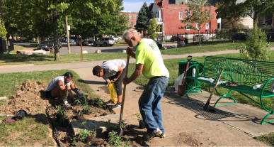
West End and Visitation Park
Located along the city’s western edge from Delmar Boulevard to Page Boulevard, these two neighborhoods are home to many proud residents and grand classical architecture.
Read More
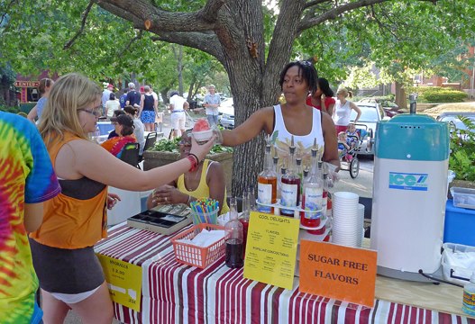
Skinker Debaliviere
North of Forest Park with Lindell Avenue to the South, this neighborhood is close to the Delmar Loop and Washington University Danforth Campus.
Read More
Forest Park Southeast
Located South of I-64 between Kingshighway and Vandeventer, and boasts quintessential St. Louis red brick buildings.
Read More
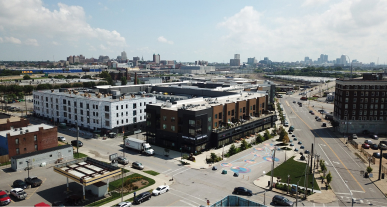
Central West End
Home to the Washington University Medical Center and Cortex Innovation Community, this neighborhood is adjacent to Forest Park and boasts historic architecture.
Read More
Vandeventer
Located between Delmar Boulevard and Dr. Martin Luther King Drive, many dedicated residents have helped with the infrastructural development that makes the neighborhood as beautiful as it is today.
Read More
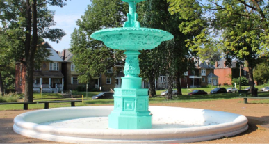
Lewis Place and Fountain Park
Includes the Ranken Technical College campus and located North of Delmar Boulevard.
Read More
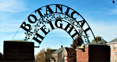
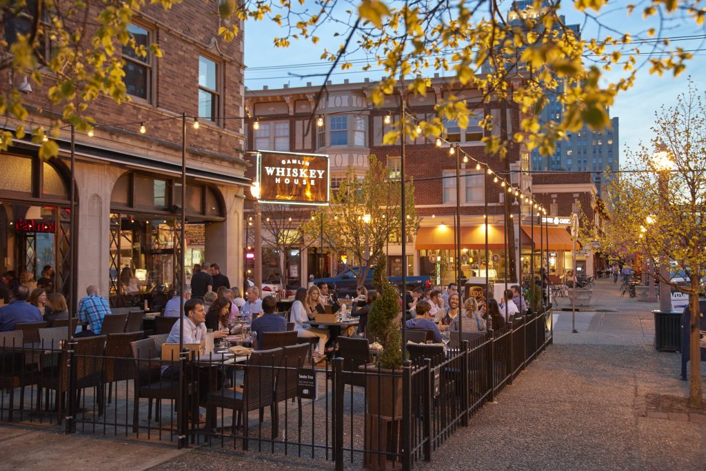
Botanical Heights and Tiffany
Located South of Chouteau Avenue and North of I-44, the area covers less than a square mile but is packed with a wide array of residents and building types.
Read More